Every photograph on Dahlonega Title Guide is a real photograph used under its license, with its credit listed below. Nothing on this site is a generated image presented as a photo. Office locations are drawn from OpenStreetMap data (OpenStreetMap contributors).
A few honest labels
- When a photo is years old, or shows a place other than the one a page is about, its credit says so.
- Where we have no licensed photo of a place, we show none rather than a stand-in from somewhere else.
- The Planning and Development, Environmental Health and GIS offices at 342 Courthouse Hill are not a mapped building in OpenStreetMap, so their map points are approximate points on the street.
Photographs
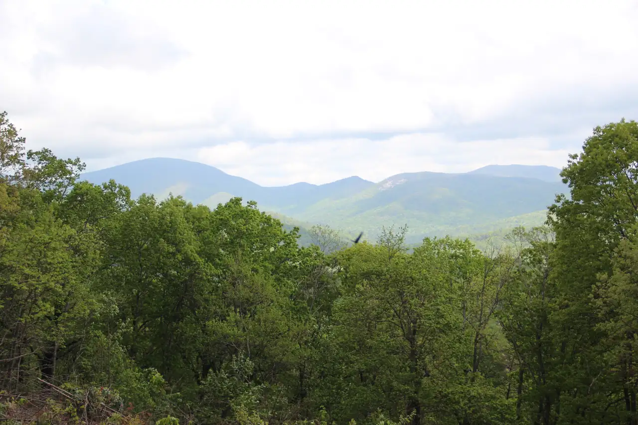
Forested foreground below a line of blue Blue Ridge peaks, seen from the Chestatee Overlook off GA 60 in Lumpkin County
Photograph Chestatee Overlook, April 2017 by Thomson200, licensed under CC0, via Wikimedia Commons. Resized for this site.
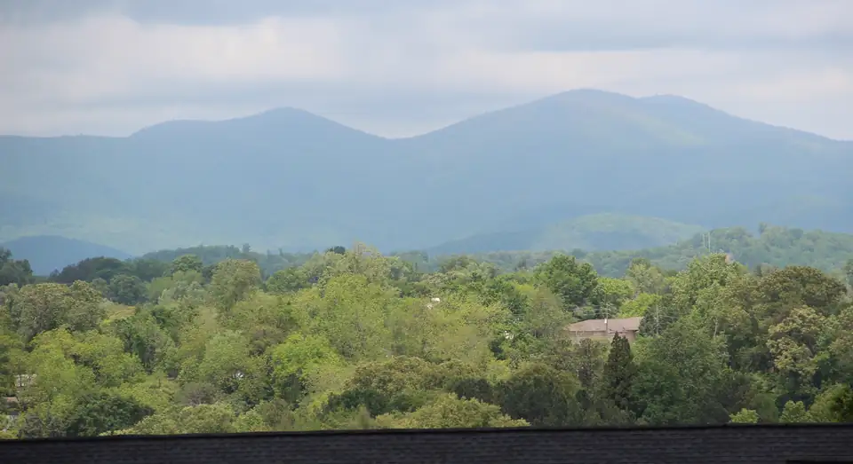
Layered blue ridges of Long Mountain and Gooch Mountain over green treetops, seen from Findley Ridge in Dahlonega
Photograph Long Mountain and Gooch Mountain viewed from Dahlonega, April 2017 by Thomson200, licensed under CC0, via Wikimedia Commons. Cropped and resized for this site.
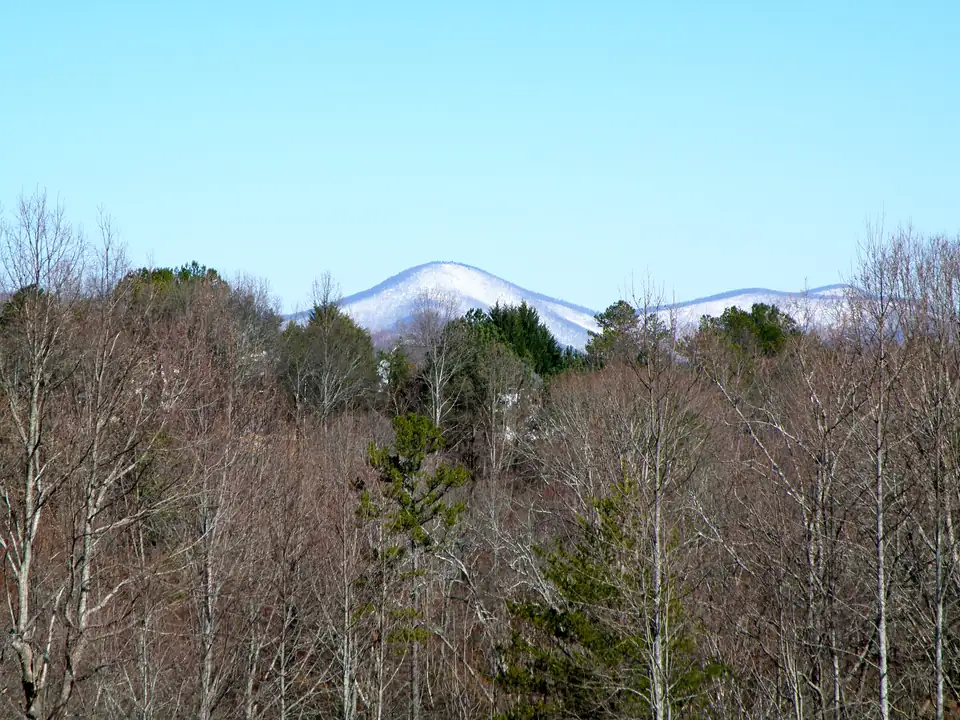
A snow-dusted mountain beyond bare winter woods, seen from the Sky Country area of Dahlonega
Photograph Sky Country, Dahlonega, GA – panoramio by Pete Seabolt, licensed under CC BY 3.0, via Wikimedia Commons. Resized for this site.
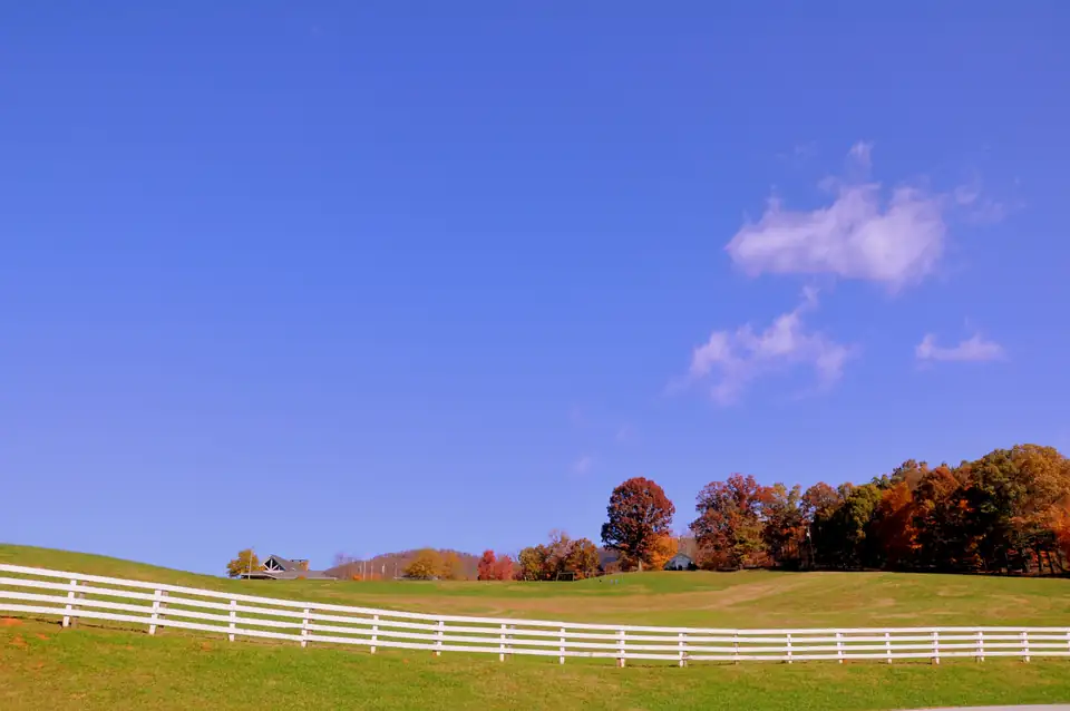
Rolling pasture behind a long white four-board fence, autumn trees along the ridge under a deep blue sky
Photograph R Ranch in the Mountains Georgia – panoramio by Chanilim714, licensed under CC BY-SA 3.0, via Wikimedia Commons. Resized for this site.
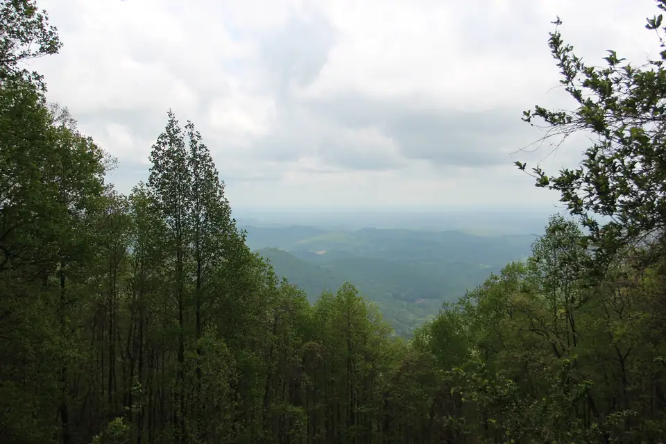
View south from Woody Gap in the Chattahoochee National Forest, ridges falling away between tall hardwoods
Photograph Woody Gap view, April 2017 by Thomson200, licensed under CC0, via Wikimedia Commons. Resized for this site.
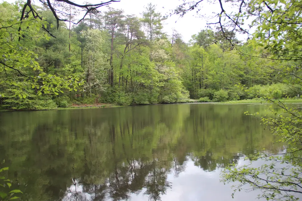
Still water of Dockery Lake in the Chattahoochee National Forest reflecting pines and spring hardwoods
Photograph Dockery Lake, Georgia April 2017 1 by Thomson200, licensed under CC0, via Wikimedia Commons. Resized for this site.
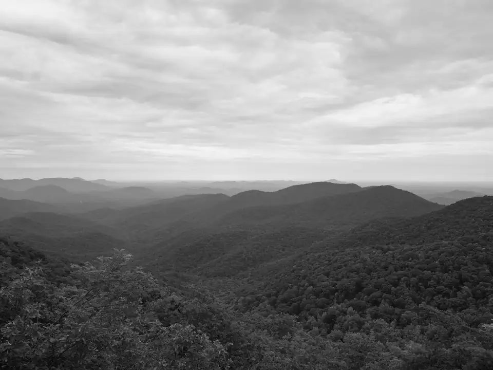
Black-and-white view of forested ridges receding to a hazy horizon in the Blood Mountain Wilderness
Photograph Public Lands Institute – Blood Mountain Wilderness – 002 by Public Lands Institute, licensed under CC0, via Wikimedia Commons. Resized for this site.
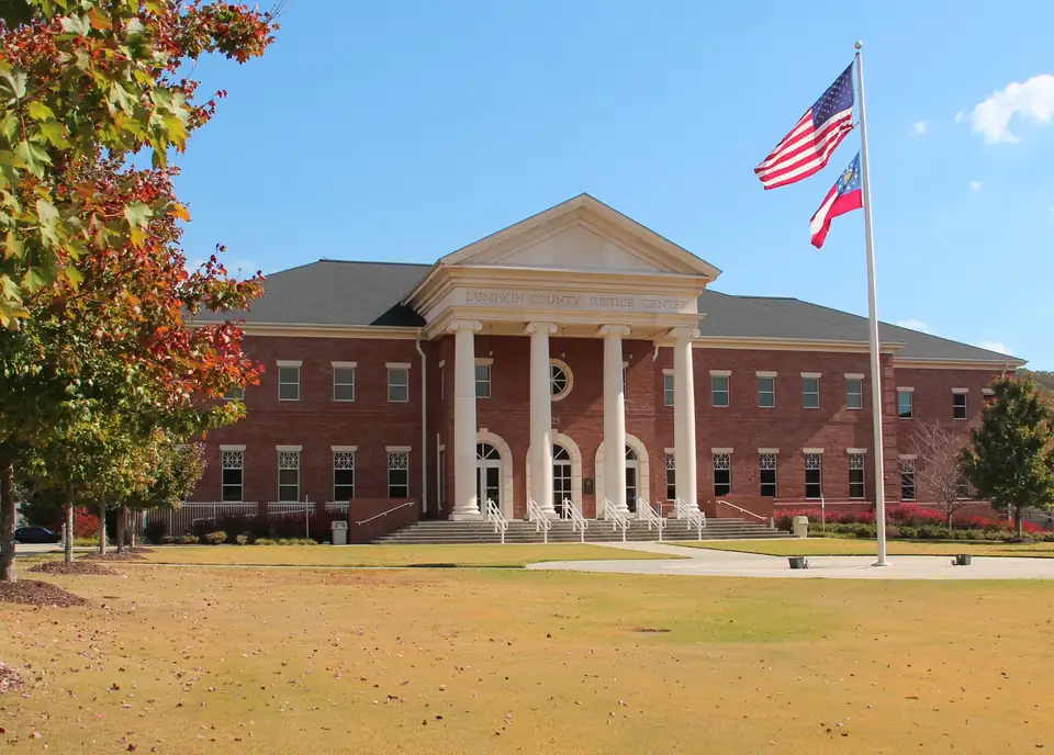
Lumpkin County Justice Center in Dahlonega, a red-brick courthouse with a white four-column portico and flags
Photograph Lumpkin County Justice Center Oct 2016 by Thomson200, licensed under CC0, via Wikimedia Commons. Resized for this site.
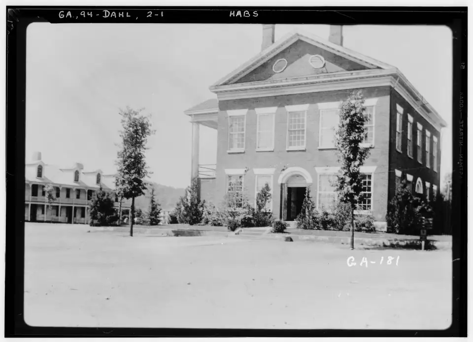
1936 survey photograph of the 1836 Lumpkin County Courthouse on the unpaved Dahlonega square
Photograph Historic American Buildings Survey Harold Bush-Brown, Photographer Enlarged by L.D. Andrew June, 11, 1936 END VIEW – Lumpkin County Courthouse, Dahlonega, Lumpkin County, GA HABS GA,94-DAHL,2-1 by Unknown (US government / HABS), Public domain, via Wikimedia Commons. Resized for this site.
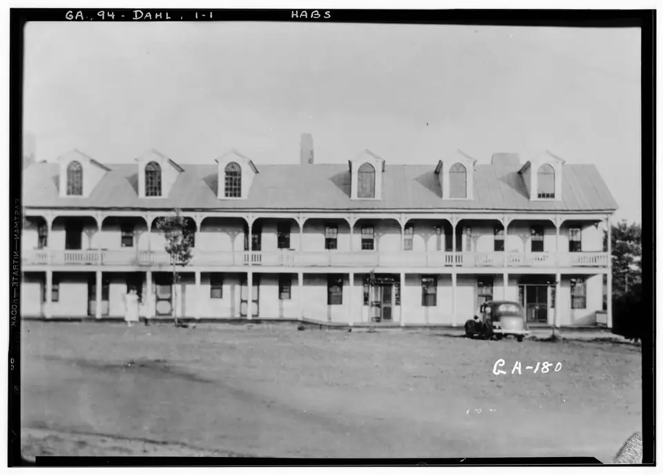
1936 survey photograph of the long two-storey Old Hotel with a double porch on the Dahlonega square
Photograph Historic American Buildings Survey Harold Bush-Brown, Photographer Enlarged by L.D. Andrew June, 11, 1936 FRONT VIEW – Old Hotel, Main Square, Dahlonega, Lumpkin County, GA HABS GA,94-DAHL,1-1 by Unknown (US government / HABS), Public domain, via Wikimedia Commons. Resized for this site.
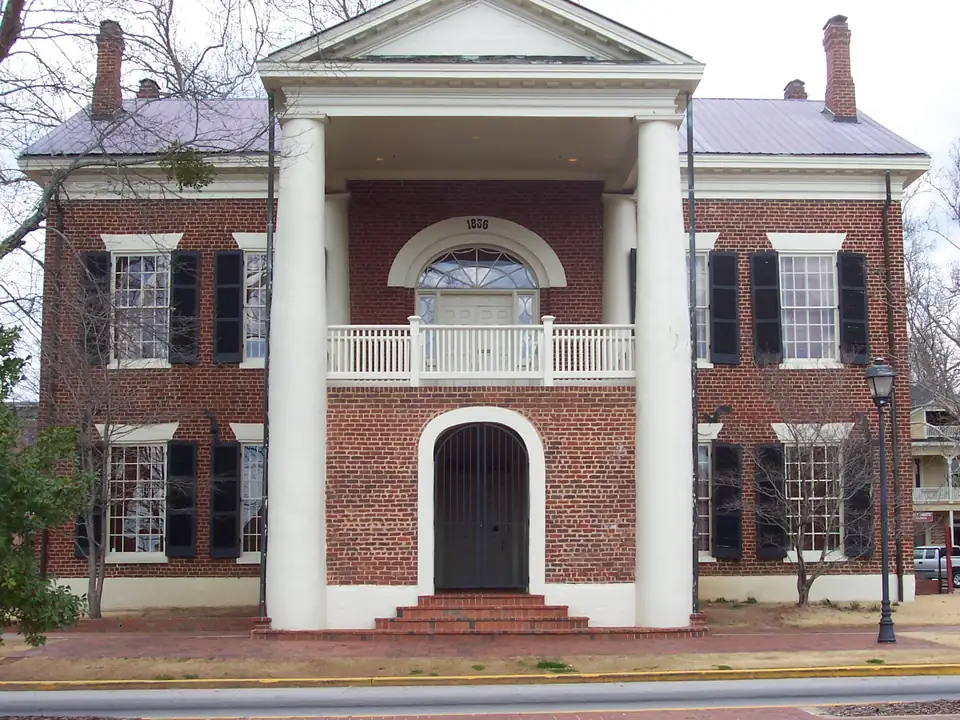
Front of the 1836 Lumpkin County Courthouse, now the Dahlonega Gold Museum, with white columns and an arched door
Photograph Dahlonega Gold Museum Historic Site by HowardSF at English Wikipedia, licensed under CC BY-SA 3.0, via Wikimedia Commons. Resized for this site.
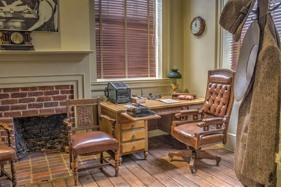
Judge's chamber inside the 1836 courthouse: oak desk with typewriter and law book, leather chair and fireplace
Photograph 19-07-011-museum by Dsdugan, licensed under CC0, via Wikimedia Commons. Resized for this site.
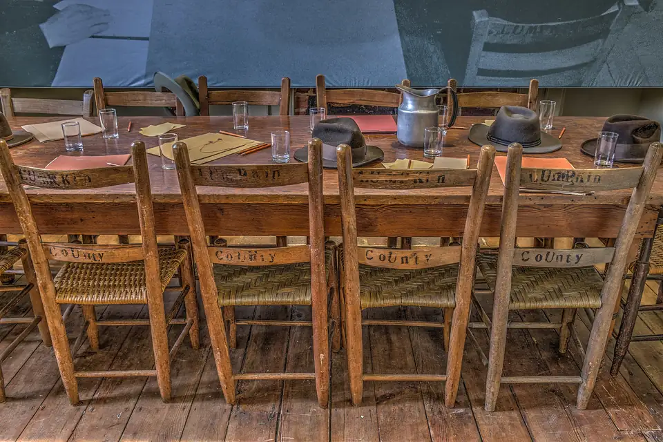
Jury room in the 1836 courthouse: long wooden table with chairs stencilled Lumpkin County
Photograph 19-07-022-museum by Dsdugan, licensed under CC0, via Wikimedia Commons. Resized for this site.
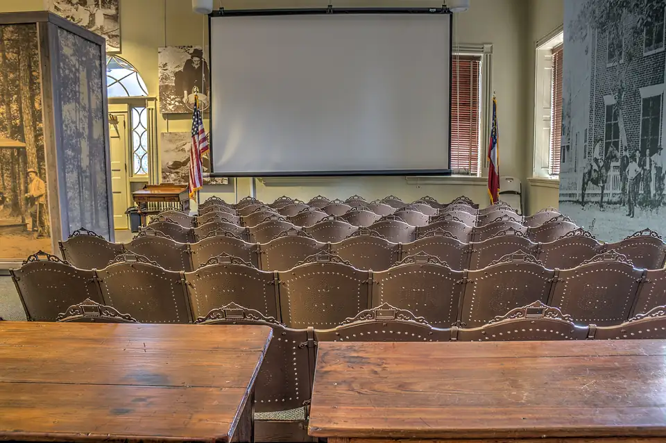
Upstairs courtroom of the 1836 courthouse with rows of pressed-metal seats and two counsel tables
Photograph 19-07-059-museum by Dsdugan, licensed under CC0, via Wikimedia Commons. Resized for this site.
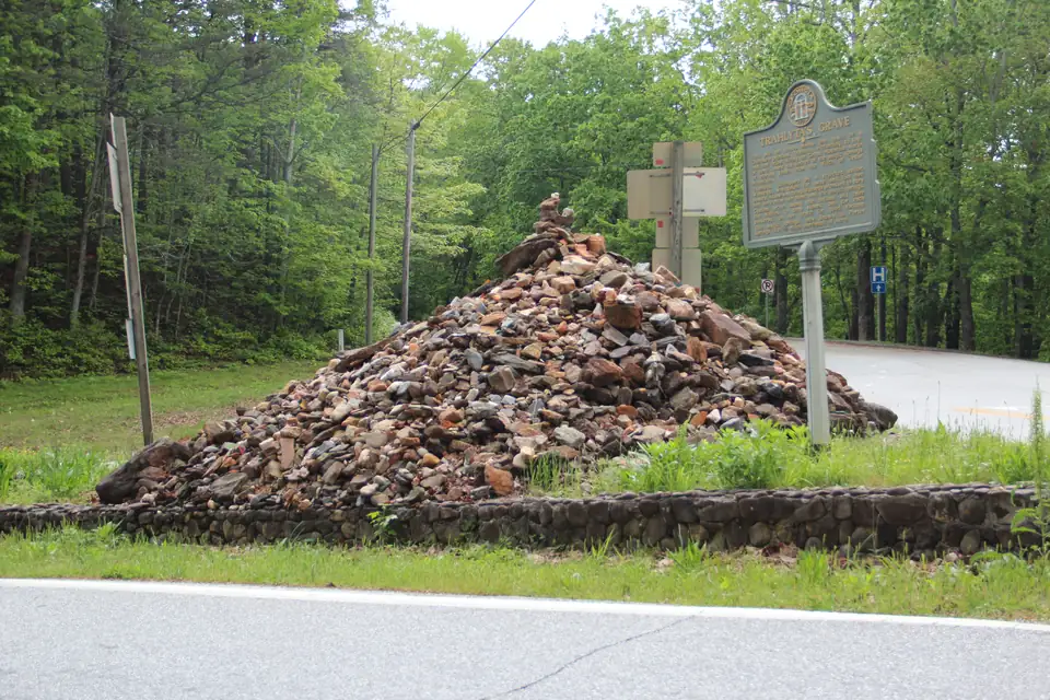
Trahlyta's Grave at Stonepile Gap, a large cairn of stones inside a low wall beside a Georgia historical marker
Photograph Trahlyta Grave, April 2017 by Thomson200, licensed under CC0, via Wikimedia Commons. Resized for this site.
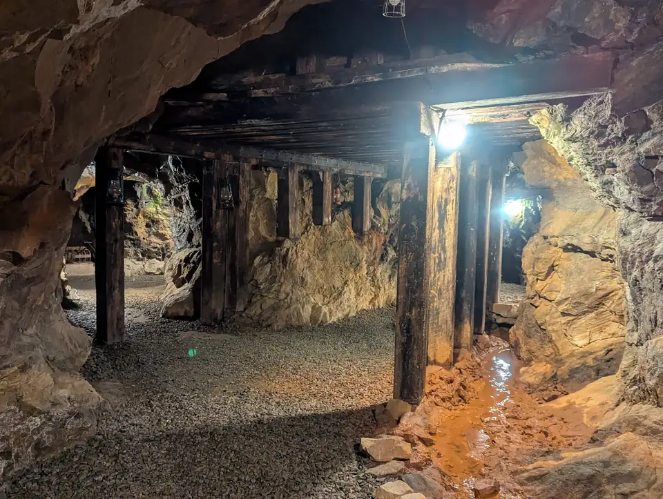
Underground gold-mine tunnel with rough rock walls, timber posts and an iron-stained water channel
Photograph Dahlonega Mine by BakedintheHole, licensed under CC0, via Wikimedia Commons. Resized for this site.
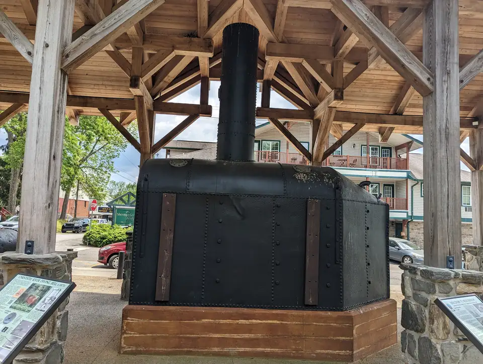
The Chestatee River Diving Bell, a gold-dredging bell from about 1875, under a timber pavilion in Dahlonega
Photograph 2023-05-14 Chestatee River Diving Bell 08 by Clifflandis, licensed under CC0, via Wikimedia Commons. Resized for this site.
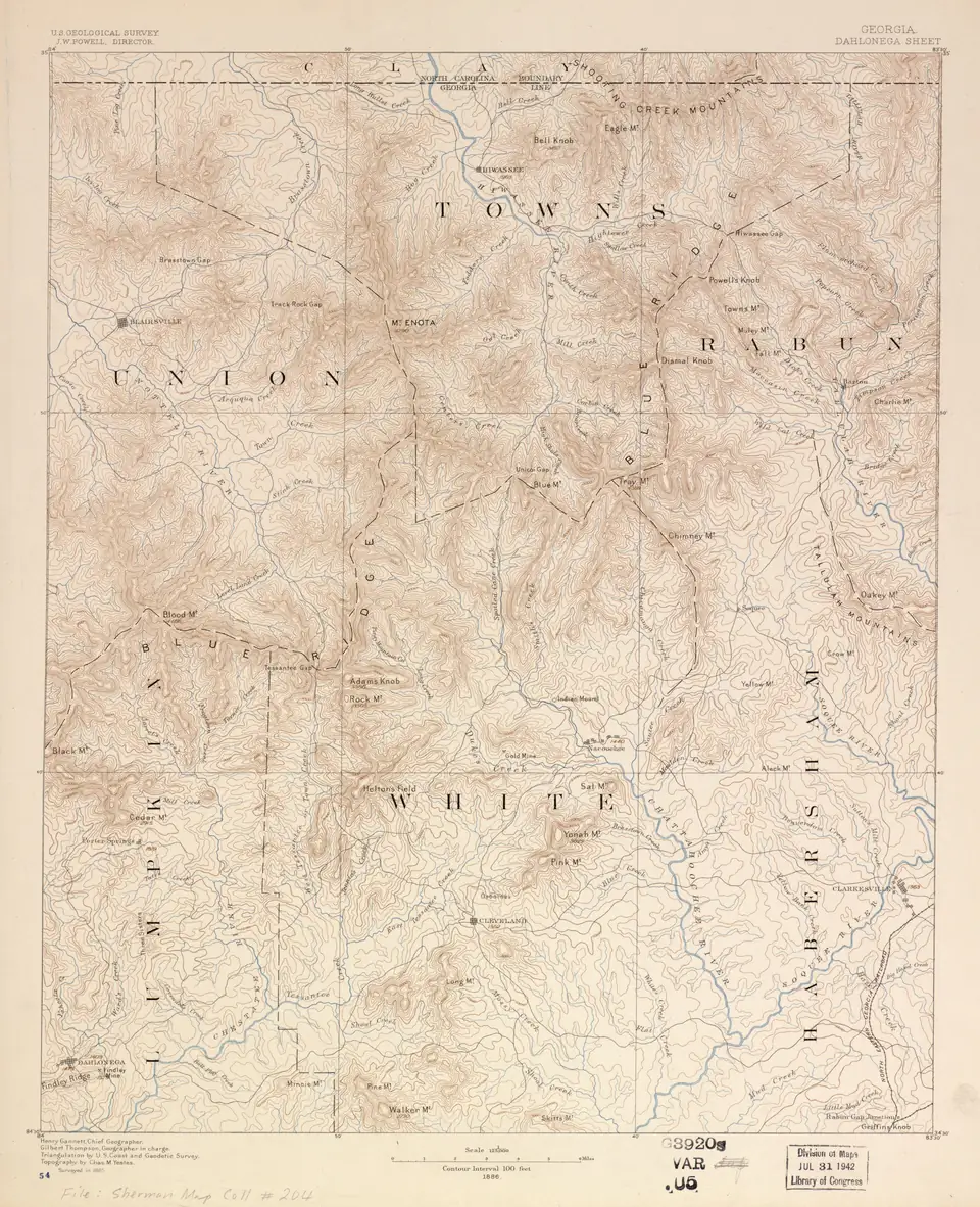
USGS Dahlonega Sheet topographic map surveyed in 1885, with contours, streams and Lumpkin County place names
Photograph Georgia, Dahlonega sheet LOC 2007626716 by Geological Survey (U.S.); Gannett, Henry; Thompson, Gilbert; Yeates, Chas. M.; U.S. Coast And Geodetic Survey, Public domain, via Wikimedia Commons. Resized for this site.
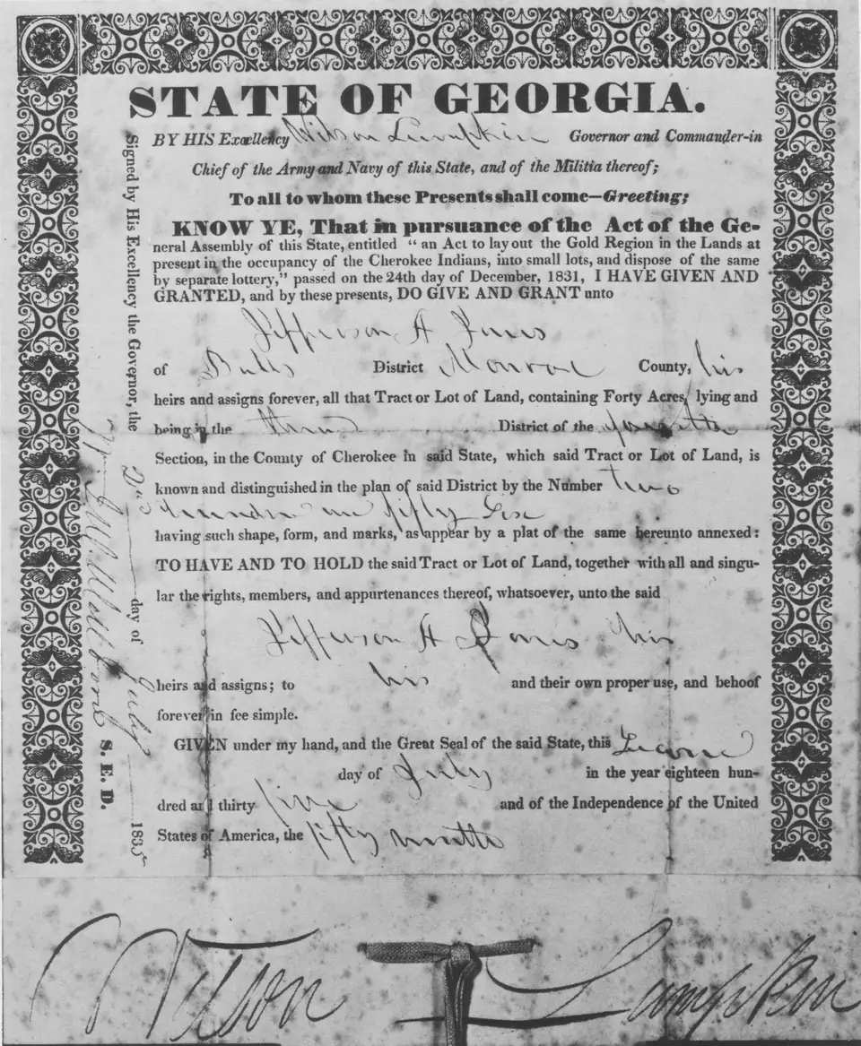
1835 State of Georgia grant for a 40-acre gold lot, signed by Governor Wilson Lumpkin
Photograph CherokeeLotteryLandDeed by Cculber007 at en.wikipedia, Public domain, via Wikimedia Commons. Resized for this site.
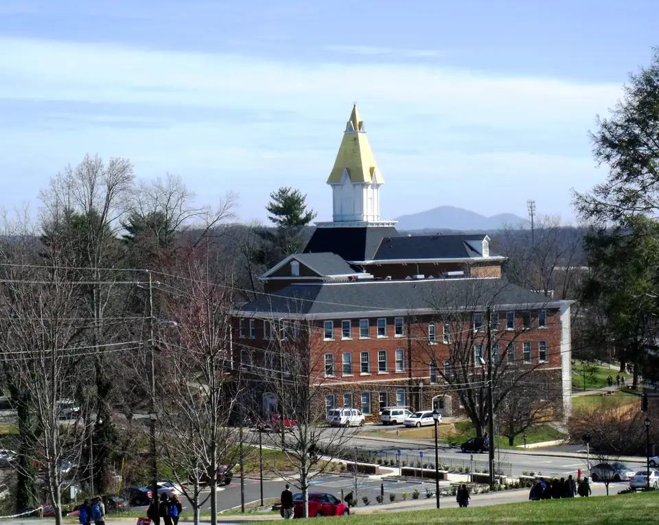
Price Memorial Hall at the University of North Georgia, on the site of the Dahlonega Mint, with its gold-leaf steeple
Photograph Price Memorial Hall Building by ZachJBeavers, licensed under CC BY-SA 3.0, via Wikimedia Commons. Resized for this site.
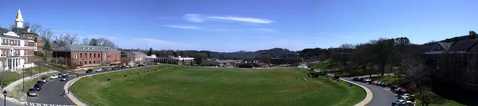
Panorama of the University of North Georgia drill field in Dahlonega with wooded ridges beyond
Photograph UNG drill field panorama by ZachJBeavers, licensed under CC BY-SA 3.0, via Wikimedia Commons. Resized for this site.


Video
- Hero film: a 30-second loop of slow camera moves and dissolves across 8 real photographs credited on this page (Geological Survey (U.S.); Gannett, Henry; Thompson, Gilbert; Yeates, Chas. M.; U.S. Coast And Geodetic Survey (public domain); Cculber007 at en.wikipedia (public domain); Unknown (US government / HABS) (public domain); Thomson200 (CC0); Chanilim714 (CC BY-SA 3.0)). Nothing in it is generated. Because some sources are CC BY-SA, the film is offered under CC BY-SA 4.0.
Map
Map sources
Office points come from OpenStreetMap buildings and nodes checked on October 19, 2026: the Judicial Center on Riley Road for the Clerk and Probate Court, the Administration Building on Courthouse Hill for the Tax Assessor and Tax Commissioner, City Hall on Riley Road, and the Gold Museum on the Public Square.