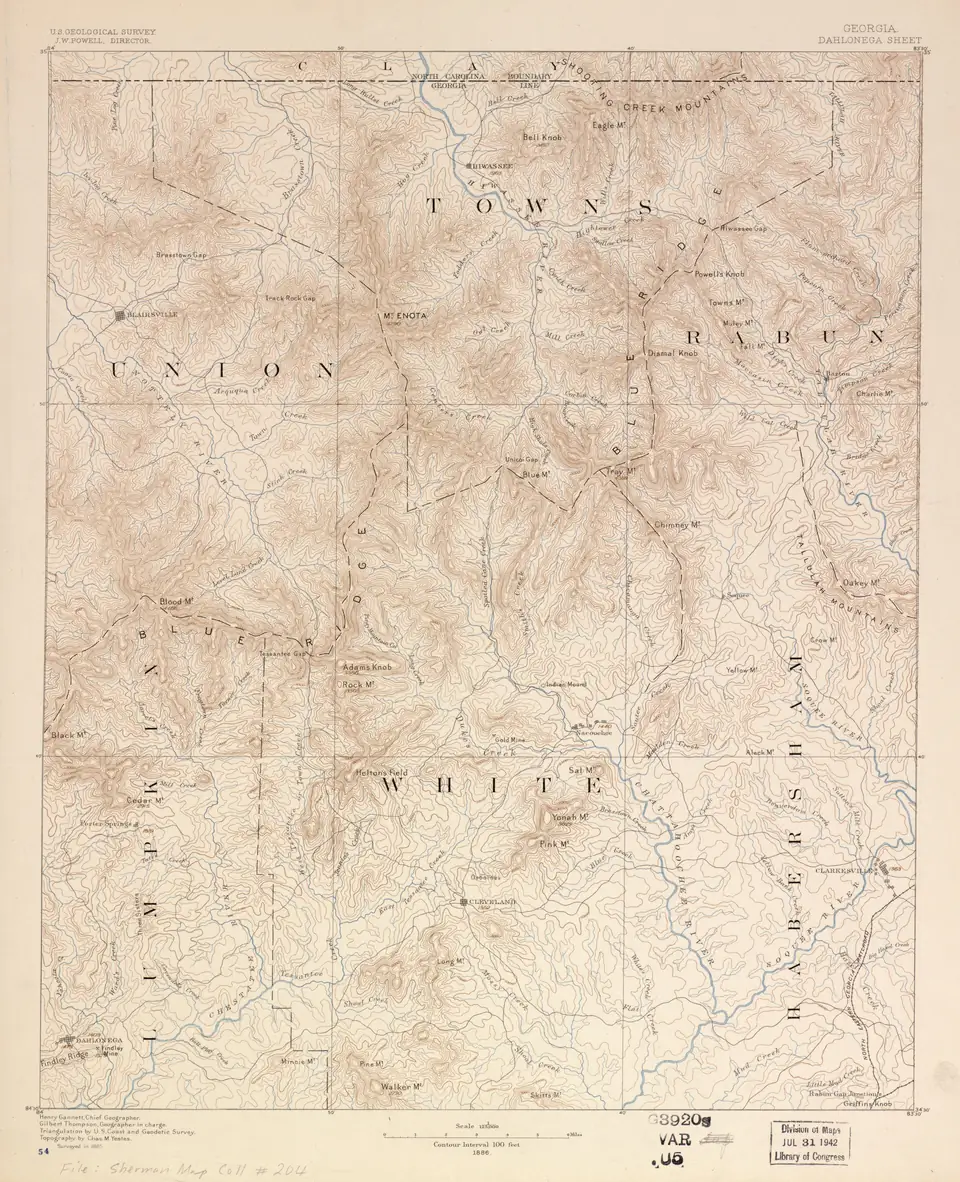
A Lumpkin County legal description places land on a survey grid drawn in 1832: a numbered land lot, inside a numbered district, inside a numbered section, inside the county. The tract itself is then pinned down by a recorded plat, by courses and distances, or both. Once you know what each call means and where it came from, an intimidating paragraph of deed language turns into an address you can find on a map and in the plat index.
A sample description, call by call
Here is the shape of a typical description. The numbers are a format example, not a real parcel:
All that tract or parcel of land lying and being in Land Lot 123 of the 12th District, 1st Section, Lumpkin County, Georgia, containing 5.00 acres, more or less, as shown on a plat recorded in Plat Book 12, Page 34
| Call | What it means |
|---|---|
| Land Lot 123 | A numbered lot in the 1832 survey of the Cherokee territory. In Lumpkin County a lot number can belong to a 160-acre land lot or a 40-acre gold lot. |
| 12th District | The numbered district that contains the lot. Lot numbers repeat from district to district, so a lot number alone means nothing. |
| 1st Section | One of the four sections the Cherokee territory was divided into. Districts are numbered within the territory’s sections. |
| Lumpkin County, Georgia | The county where the land lies and where its deeds are recorded. |
| 5.00 acres, more or less | The stated area. “More or less” signals that the acreage is approximate. |
| Plat Book 12, Page 34 | The recorded survey that draws the tract’s lines. |
Some older descriptions skip the plat and instead run “courses and distances” from a starting point: a bearing and a length for each side, often tied to a corner such as a road, a creek or a marked tree. Those are the hardest to put back on the ground, which is why the survey matters so much on older Lumpkin tracts.
Why Lumpkin County uses land lots
Between 1805 and 1832 Georgia held lotteries to distribute land seized from the Cherokees and Muscogee (Creeks), and nearly three-quarters of the state’s land was allocated that way (New Georgia Encyclopedia). The last of them divided the Cherokee territory in northwest Georgia, gold country included.
The Georgia Archives explains the structure. The territory was so large that it was divided into four sections, and each section into districts; there were 33 gold districts, each divided into gold lots (Georgia Archives). The land was split between land lots distributed by the sixth land lottery and gold lots distributed by the seventh (Georgia Archives). By law, about a third of the land districts were designated gold districts of 40 acres each, distributed in a separate lottery from the 160-acre land lots (Georgia Archives). The Gold Lottery drawing ran from October 22, 1832, to May 1, 1833 (Georgia Archives).
Lumpkin County was created in the middle of that process, by a law passed December 3, 1832, that divided original Cherokee County into ten counties (Georgia Archives). That is why a Lumpkin deed still begins with a land lot and a district.
The rules still use the grid
This is not just history. Georgia’s plat statute requires a recordable plat to show “all applicable land lots, land districts, sections, reserves, or militia districts wherein the platted property lies” (O.C.G.A. § 15-6-67). The state’s survey standards require a surveyor’s written description to call out the land lot, district, section, the militia district number in headright grant areas, the city if the land is within city limits, and the county (Ga. Comp. R. and Regs. 180-7). Inside Dahlonega, the city’s minor final plat checklist requires the caption to show the county, land district and land lot (City of Dahlonega).
How to find the lot on county maps and in the plat index
- Find the parcel. Lumpkin County’s online parcel map and ownership search runs on qPublic (Lumpkin County). Search by owner or parcel to see the tract’s shape and its neighbors.
- Get the deed. The deed into the current owner is in the Clerk of Superior Court’s records and on GSCCCA. Our Lumpkin County deed records guide walks through the search.
- Pull the plat. If the description cites a plat book and page, look it up in the GSCCCA plat index, which covers plats and maps recorded in every Georgia county since at least January 1, 2004 (GSCCCA). Older plats are in the Clerk’s office.
- Match the grid. Compare the land lot and district on the deed with the plat caption. If they disagree, note it for your attorney and surveyor.
- Ask about map layers. Lumpkin County GIS sells data layers including 2-foot LiDAR contours, tax parcels, roads, streams and imagery (Lumpkin County GIS). Its published list does not mention a land-lot layer, so ask GIS at 706-864-6894 whether land-lot lines are available before you order data. For a single print, the Assessor’s public mapping computer prints an aerial map for $5 (Lumpkin County FAQ).
When the description and the ground disagree
Old descriptions do not always fit the land. Georgia’s survey standards expect that: when a surveyor cannot make a parcel conform to its record title, the surveyor must explain why, and the listed reasons include possession lines, acquiescence, adverse possession, unrecorded deeds and “dubious and nebulous deed descriptions” (Ga. Comp. R. and Regs. 180-7). The surveyor must also report overlaps and gores with neighboring tracts (Ga. Comp. R. and Regs. 180-7).
Watch the acreage, too. The 2021 ALTA Owner’s Policy excludes any discrepancy in the quantity of the area or acreage of the land (2021 ALTA Owner’s Policy), so “5.00 acres, more or less” is not a figure the owner’s policy insures. If the number matters to you, the survey is where to check it. More on what a plat shows is on surveys and boundaries.
Gold lot or land lot: does it matter now?
For most buyers the lot type is history, not a defect. It can matter in two ways. Gold-lot country is where a separate sale or reservation of minerals is most worth looking for, so read every deed in the chain for mineral language; our mineral rights guide explains what Georgia law says about severed minerals. And because 40-acre gold lots are smaller units on the grid, a tract may straddle more than one lot, and its description should name each. For the other issues that come with North Georgia land, see mountain land title issues.
Questions people ask
What does land lot mean in a Georgia deed?
It is a numbered lot in the survey grid Georgia laid over land distributed by lottery. In the former Cherokee territory, the land was split between land lots from the sixth land lottery and gold lots from the seventh.
Source: Georgia Archives, checked Oct 19, 2026
How big is a gold lot compared with a land lot?
Gold lots in the 1832 Gold Lottery were 40 acres; the land lots distributed separately were 160 acres.
Source: Georgia Archives, checked Oct 19, 2026
Does a Georgia plat have to show the land lot and district?
Yes. A recordable Georgia plat must show all applicable land lots, land districts, sections, reserves or militia districts where the platted property lies.
Source: O.C.G.A. § 15-6-67, checked Oct 19, 2026
Why might a survey not match my deed description?
Georgia survey standards require the surveyor to explain any mismatch with record title; listed reasons include possession lines, acquiescence, adverse possession, unrecorded deeds and vague deed descriptions.
Source: Ga. Comp. R. & Regs. 180-7, checked Oct 19, 2026
Written by the Dahlonega Title Guide Editorial Team. AI tools help us draft; people check every fact against its source before it publishes.