Buying mountain land in Georgia brings title issues that a lot in a newer subdivision rarely raises. In Lumpkin County much of the land was first granted by lottery in 1832, a large share of the county is national forest, many tracts are reached by private roads or across a neighbor’s land, and some family land has passed for generations without an estate being opened. Each issue has a Georgia rule behind it, and each shows up somewhere specific: in the deeds, on the survey or in the title commitment. This page gives one short, sourced answer for each and links to the deeper guide.
Descriptions built on the 1832 land-lot grid
Between 1805 and 1832 Georgia held lotteries to distribute land seized from the Cherokees and Muscogee (Creeks), and nearly three-quarters of the state’s land was allocated that way (New Georgia Encyclopedia). In 1832 the Cherokee territory that became Lumpkin County was split into 160-acre land lots and 40-acre gold lots (Georgia Archives). That is why a Lumpkin deed places land by land lot, district and section, and why some old descriptions are hard to fit to the ground. Our article on reading a Lumpkin County legal description explains each call.
Access: private roads and neighbors’ land
Georgia recognizes four ways a private way over another’s land can arise: “from an express grant, from prescription by seven years’ uninterrupted use through improved lands or by 20 years’ use through wild lands, by implication of law when the right is necessary,” or by court-ordered purchase (O.C.G.A. § 44-9-1). Only the first is in the deed records. The county code adds its own limits: access to every subdivision lot must be over a public street, not a private easement or private right-of-way (Lumpkin County Code), and only minor subdivides and the code’s exemptions may divide land reached by an easement or private road (Lumpkin County Code). A quick field clue: Lumpkin County road signs are green, and privately maintained road signs should be blue with white lettering (Lumpkin County Roads). The 2021 ALTA Owner’s Policy lists “No right of access to and from the Land” as a covered risk (2021 ALTA Owner’s Policy), subject to the policy’s exceptions. More in easements and landlocked land.
Old surveys and boundary lines
Georgia’s survey standards say every surveyed parcel should be made to conform with its record title boundaries, and when it cannot, the surveyor must say why. The listed reasons include possession lines, acquiescence, adverse possession, unrecorded deeds and “dubious and nebulous deed descriptions” (Ga. Comp. R. and Regs. 180-7). On the policy side, encroachments and boundary overlaps are covered only if an accurate and complete land title survey would have disclosed them (2021 ALTA Owner’s Policy), and the owner’s policy excludes any discrepancy in acreage (2021 ALTA Owner’s Policy). See surveys and boundaries.
Family cemeteries
A landowner may not knowingly disturb a known cemetery or burial ground to develop or change the use of the land without first getting a permit from the city or county governing authority (O.C.G.A. § 36-72-4). Plats must show observed evidence of human burials or cemeteries (Ga. Comp. R. and Regs. 180-7). On visits by descendants, Georgia DCA says there is no specific statute, and that case law has been read to give the heirs of those buried an implied easement (Georgia DCA). See family cemeteries on private land.
Gold-era mineral rights
Lumpkin County dates the start of its gold rush to 1828; the first documented evidence of Georgia gold is August 1, 1829 (New Georgia Encyclopedia). Old deeds here sometimes split the minerals from the surface. Georgia lets a surface owner gain title to severed mineral rights by adverse possession when the mineral owner has neither worked them nor paid taxes on them for seven years (O.C.G.A. § 44-5-168). See mineral rights and gold mining history.
National forest boundaries
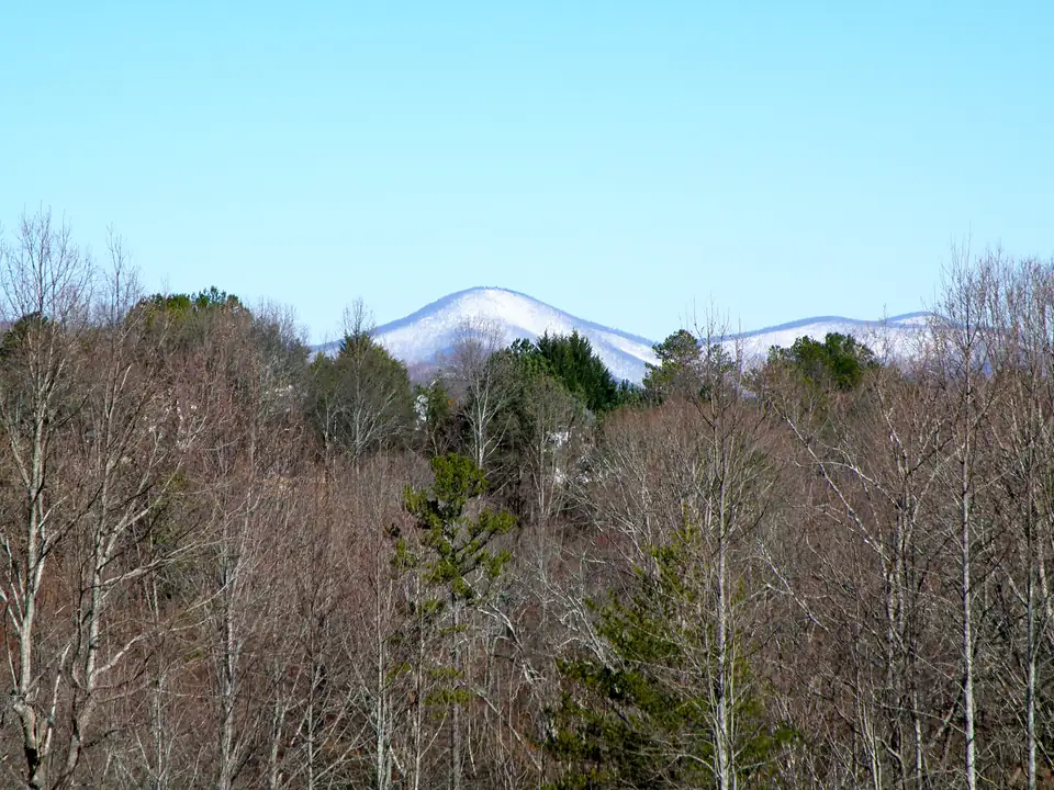
Lumpkin County describes itself as 283 square miles, 44% of which lies within the Chattahoochee National Forest (Lumpkin County). A driveway or anything else built on National Forest System land needs a Forest Service special-use authorization (USFS). See national forest boundaries.
Creek buffers and flood zones
Lumpkin County Planning states stream buffers of 25 feet for warm-water streams and 50 feet for primary and secondary trout waters, and land inside a buffer cannot be disturbed without a variance from the Georgia Environmental Protection Division (Lumpkin County FAQ). FEMA’s flood maps for the county carry an effective date of April 4, 2018 (FEMA NFHL). A buffer or flood zone is not a title defect, but it limits where you can build, and a survey is where you see it.
Heirs property and family land
A Georgia deed to two or more people creates a tenancy in common without survivorship unless it uses joint-tenancy language (O.C.G.A. § 44-6-190). When those owners die without their estates being settled, the land can pass to a widening circle of heirs, and the Georgia Heirs Property Law Center notes that heirs property cannot be sold or mortgaged without the agreement of all heirs (Georgia Heirs Property Law Center). See heirs property in Georgia.
Where these issues show up
| Issue | Where it shows up first |
|---|---|
| Old or vague description | The deeds, then the survey’s notes on why it does not match record title |
| Access over a private road or neighbor’s land | Recorded easements and road maintenance agreements; the survey; a commitment exception |
| Family cemetery | The plat and survey; deed reservations; the commitment |
| Severed minerals | A mineral deed or reservation in the chain; a commitment exception |
| National forest line | The survey’s report of overlaps and gores with the adjoining tract |
| Heirs property | A gap in the chain; a probate requirement in the commitment |
In the commitment, Schedule B, Part I lists what must be done before a policy issues, and Part II lists the exceptions the policy will carry unless they are cleared to the insurer’s satisfaction (2021 ALTA Commitment). Our title commitment guide decodes both. To see which of these checks apply to a tract you are looking at, start with the Risk Finder below.
Decision tool · Title Risk Finder
Find the title checks your property needs
Pick who you are, the kind of property and what you already know about the land. You get the checks that apply, where each record lives and the rule behind it. No score and no advice: take the list to the closing attorney you choose.
Want help putting the list in order before you sign? Send it with a note and a licensed Gold Peach Realty agent will follow up.
Send my list with a noteIf you are weighing a piece of mountain land and want to talk through what the records show before you make an offer, Gold Peach Realty works with buyers and sellers of Lumpkin County land. For what a record means for your title, ask a Georgia real estate attorney.
Questions people ask
Can land on a private road be subdivided in Lumpkin County?
Only in limited ways. The county code says minor subdivides and the code's listed exemptions are the only divisions of property allowed off an easement or private road.
Source: Lumpkin County Code, checked Oct 19, 2026
How can I tell if a road in Lumpkin County is private?
Look at the sign. Lumpkin County road name signs are green, while privately maintained road name signs should be blue with white lettering. Confirm with the recorded easements and road agreements before you rely on it.
Source: Lumpkin County Roads, checked Oct 19, 2026
Does owner's title insurance cover land with no legal access?
The 2021 ALTA Owner's Policy lists no right of access to and from the land as a covered risk. Like every covered risk, it is subject to the exclusions and the exceptions listed in Schedule B of the policy.
Source: 2021 ALTA Owner's Policy, checked Oct 19, 2026
How much of Lumpkin County is national forest?
Lumpkin County describes itself as 283 square miles in area, 44% of which lies within the Chattahoochee National Forest.
Source: Lumpkin County, checked Oct 19, 2026
Can I build next to a creek on land in Lumpkin County?
Not inside the buffer without a variance. Lumpkin County Planning states buffers of 25 feet for warm-water streams and 50 feet for primary and secondary trout waters, and the buffer cannot be disturbed without a variance from the Georgia Environmental Protection Division.
Source: Lumpkin County FAQ, checked Oct 19, 2026
Does an owner's policy cover a shortage in acreage?
No. Exclusion 7 of the 2021 ALTA Owner's Policy removes coverage for any discrepancy in the area, square footage or acreage of the land or improvements.
Source: 2021 ALTA Owner's Policy, checked Oct 19, 2026